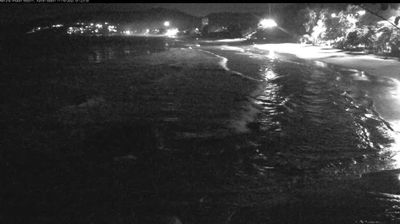
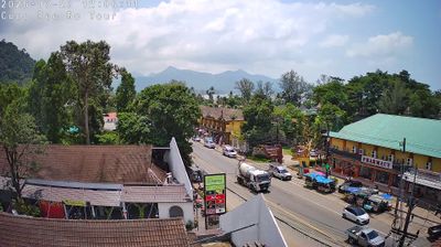
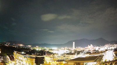
Bueng Kan: Chayangkun Road
![]() Bueng Kan, Thaiföld
Bueng Kan, Thaiföld
Real-Time Environment
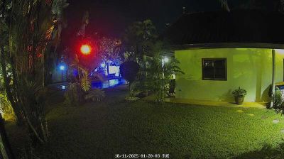
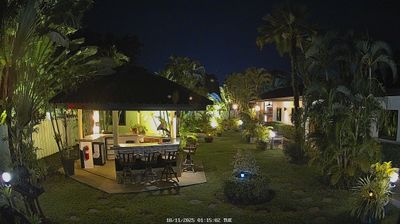
Welcome to the live streaming webcam for Bueng Kan: Chayangkun Road, perfectly situated in the vibrant region of Bueng Kan, Thaiföld. Watching this live camera allows you to instantly experience the local atmosphere and monitor current climate conditions.
About Bueng Kan
Bueng Kan is a town municipality in Mueang Bueng Kan district, in Bueng Kan province, Isan. It is the district capital and is on the Mekong River, opposite the Laotian town of Pakxan of Bolikhamsai province. It lies at the junction of Highways 212 and 222, 136 kilometres (85 mi) northeast of Nong Khai and 750 kilometres (466 mi) northeast of Bangkok. The economy is based on agriculture, with para rubber as the principal crop, and tourism.
📖 Read more on Wikipedia📍 Location Facts
-
Country
 Thaiföld
- Region Bueng Kan Province
- City Bueng Kan
- Coordinates 18.3698°N, 103.6381°E
Have you been to Bueng Kan?
Help the community! Share your experience, tell us about the weather, or upload your own photos from this exact location.